Observing the landscapes from Space: Interview with Dr Geoff Smith

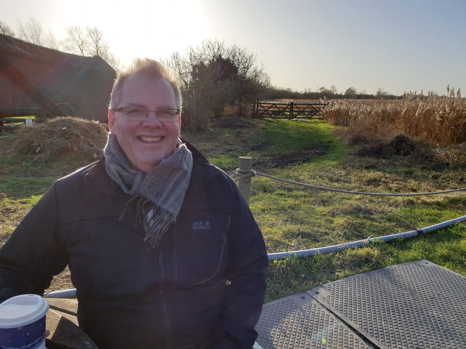
As promised, here is my second interview with another great Earth Observation scientist. His name is Dr. Geoff Smith and he is the director of Specto Natura Limited.
Geoff runs the company that helps people understand the world through observing nature's connections. He is a scientist in love with 80’s music and EO. Proud owner of a couple of electric guitars meant to help him put his thoughts in order. With a vast experience in EO and a real passion for his work, Geoff smoothly captivates his audience and inspires.
Even though one of his greatest wishes is to add more hours to his daily schedule, Geoff rapidly agreed to share his time with me, for you. I am grateful for having this opportunity and hope you will enjoy this interview as I did too.
Who is Geoff and how did he end up in the Earth Observation?
I started my work life as an environmental scientist. I went to university intending to study the physical environment. I really wanted to go to geophysics – subsurface exploration.
Unfortunately, when I graduated, the oil price crashed, and the exploration companies were not taking on new graduates anymore. Fortunately, during my undergraduate education, I’ve done a project looking at one of Jupiter’s moons with some imagery from Voyager. So, my first remote sensing was extra-terrestrial, not Earth Observation related.
Therefore, when I needed a new direction to follow, I did a course on image analysis and got a master’s degree. That was the thing that directed me to Earth Observation. After that, I did a PhD in image spectroscopy.
I studied vegetation canopies, trying to asses the health of them for studies such as carbon and nutrient cycling in the environment. At that time, that was a kind of cutting edge technology, pushing the boundaries of the performance of instruments and techniques.
Nowadays, I run my consultancy (SME). I advise people on the production of land cover information from satellite imagery. I collaborate with the European Environment Agency, on the Copernicus Land Monitoring service. I was also involved in some of the projects which led to the development of the Sentinel satellite missions, particularly Sentinel-2.
Comparing the moments when you were just starting your career and where you are now – what's changed?
Two aspects changed. One is data availability. The other is processing power and storage.
In terms of data availability, when I started, collecting Earth Observation imagery was kind of like waiting for a tap to drip. Whereas today is like taking a drink from a fire hydrant.
We do have the observing capabilities. Now, the challenge is how to make sure we reliably convert all that image data into useful insights.
My feeling is that people still imagine that the interpretation of aerial imagery is done manually. Here we need to work more. We must convince them that there is no need for huge amounts of infrastructure or dedicated experts within the organization to interpret data. We now have the services for the end-users that provide information rather than data.
There is no need for huge amounts of infrastructure or dedicated experts to interpret [EO] data.
Because we are in an image-based industry, we often think that the end-users want to see these beautiful images we work with. They don’t. They want an answer to a question. That’s it.
What is the biggest challenge facing EO today?
I think it’s related to being able to compare the EO data that we collect to real-world processes. Maybe things like vegetation, flooding, and draining of wetlands, etc. Processes that the ecologist and the end-users, the farm managers see every day on their visits to the fields.
Now we have enough imagery to track those processes with EO. We need to think more about how we capture those processes and give that dynamic information to the foresters for instance.
Any land cover map is usually immediately out of date as soon as it's completed.
The landscapes are changing continually. We need to provide that information with a much more dynamic real-world process and view.
The EAGLE
There is a team of people in Europe called The EAGLE Group (EIONET Action Group on Land monitoring in Europe – Ed.). They look at how we can better characterize the landscape and move away from fixed legends where we have these very fixed categories: e.g. forest, urban, grass and water. And how we can then characterize rather than just classify an object.
For instance, in China, they just produced some solar power farms that float on lakes. So, how would you describe that on the European map? It’s a lake, it’s also industrial, it’s an energy-producing plant, it’s renewable, etc. What category would that fit in on the map? That’s the problem. These maps are all very fixed.
In this EAGLE group, we are working on a way of characterizing the landscape. Rather than just putting a label on an object, the object would have a set of properties. Water, is it freshwater rather than seawater? It’s a power production right? Is it solar? Is it renewable?
Now we can have fully digital databases that can be totally dynamic. Meaning that as soon as a piece of new information appears, it can be available. Also, each object can have a set of information that can be interpreted on the basis of the users who are actually looking on the map. It’s sort of polymorphism to the map.
About AI and Machine Learning in EO
Another issue is that although I am a fan of artificial intelligence and machine learning, I think we need to be careful to apply it in the proper fashion. We have petabytes of data and we have all these really powerful process engines that are all scalable.
So we can keep pouring data into multiple algorithms but I think we should take a step back and think about what we are doing. As AI becomes more ubiquitous we will rely on it more and more and on its level of accuracy and interpretability, etc.
What is your contribution to the EO community?
I always try to position myself somewhere between the developers, the users, and the service providers. My idea is to have a foot on each of these camps. So I can understand what the users need and then interpret that for the developers and what are they able to produce. And then make sure that the service providers are delivering the products and information that the end-users require.
I see myself as an interface between these various communities. That is what I tend to bring to projects, that link. I know enough about physics and radiation interactions so that if someone wants something completely crazy like if they want an hourly image of the entire globe at 50 cm spatial resolution, I can say that it can’t be possible due to the physical constraints.
Editor's note
Special thanks to Dr. Smith for donating his time to me and also thanks, dear reader, for taking some time to read it.
If you seek more articles like this one, you can show me your support by buying me a cup of coffee.
Until next time,
Ilya